1. Geographical location
Located in the center of the Mekong Delta, between Tien River and Hau River with 130 km of coastline and directly adjacent to the South China Sea, which opens up many opportunities for economic development in waterways and maritime.
Vinh Long Province is about 136 km from Ho Chi Minh City and about 35 km from Can Tho City, facilitating the connection of major economic centers of the Mekong Delta and the Southern economic region by roads and waterways.
Bordering:
- The East borders the South China Sea.
- The West borders Can Tho City.
- The South borders Can Tho City.
- The North borders Dong Thap Province.
Natural land area: about 6,296.20 km², ranking the 3rd in the Mekong Delta after merger.
Administrative units: The province has 124 administrative units at the commune and ward levels, including 105 communes and 19 wards.
2. Population - Human resources
Population of nearly 4,257,581 people. Vinh Long has become one of the most populous provinces in the region (ranked the 3rd in the Mekong Delta), creating an abundant human resource for socio-economic development. Along with the ethnic diversity including Kinh, Khmer, and Chinese, creating cultural richness in Vinh Long Province.
The labor force aged 15 and over is about 1.9 million people. The rate of trained workers is about 70.2%.

3. Weather – Climate – Hydrology
The weather and climate feature two distinct seasons each year: the rainy season and the dry season. The rainy season lasts from May to November. At the beginning of the rainy season, whirlwinds often occur in areas along major rivers, and the highest rainfall is typically recorded in August, September, and October. Periods of heavy rain often coincide with storms and tropical depressions in the East Sea, as well as high tides. Combined with upstream flows from the Mekong River, this results in flooding in certain coastal areas, along major rivers, and in islet communes.
Each year, Vinh Long Province is heavily affected by saline intrusion from December of the previous year to mid-June of the following year (depending on the area), mainly concentrated in communes and wards bordering the former provinces of Ben Tre and Tra Vinh.
In recent years, high tides have not only occurred at the end of the year but have also frequently appeared at the beginning of the year (January and February), exceeding previous peak water levels and causing significant damage.
4. Resources
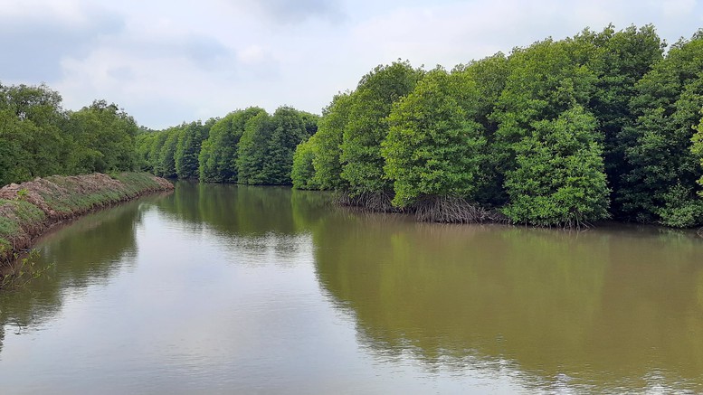
Water resources: The river and canal system is about 4,671 km long, including Hau River, Tien River, Co Chien River, Ba Lai River, and Ham Luong River. The density of rivers and canals is about 0.36 km/km².- Mineral resources: The province has abundant river sand and clay as construction materials. River sand is in the form of fill sand with the total reserve of nearly 130 million m³ and clay with the total reserve of about 200 million m³.
Land resources: Agricultural land accounts for a large proportion, suitable for growing rice, fruit trees and aquaculture.
Forest resources: The total forest area in the province is 14,474.01 ha.- Tourism resources: The whole province currently has 3 national treasures, 16 national intangible cultural heritages and 214 ranked relics, including 2 special national relics, 45 national relics and 167 provincial relics. Vinh Long Province is a place where the three main ethnic groups such as Kinh, Khmer and Chinese have long lived together, creating a unique cultural identity with unique architectural works: Khmer pagodas being the place of harmony between charming rivers, fruit-laden trees and long coastlines full of fresh products; unique traditional festivals; traditional craft villages; unique art performances; rich cuisine, etc. along with many attractive tourist destinations welcoming various domestic and foreign tourists.